“Water can flow, or creep, or drip, or crash. Be water my friend.”
– Bruce Lee
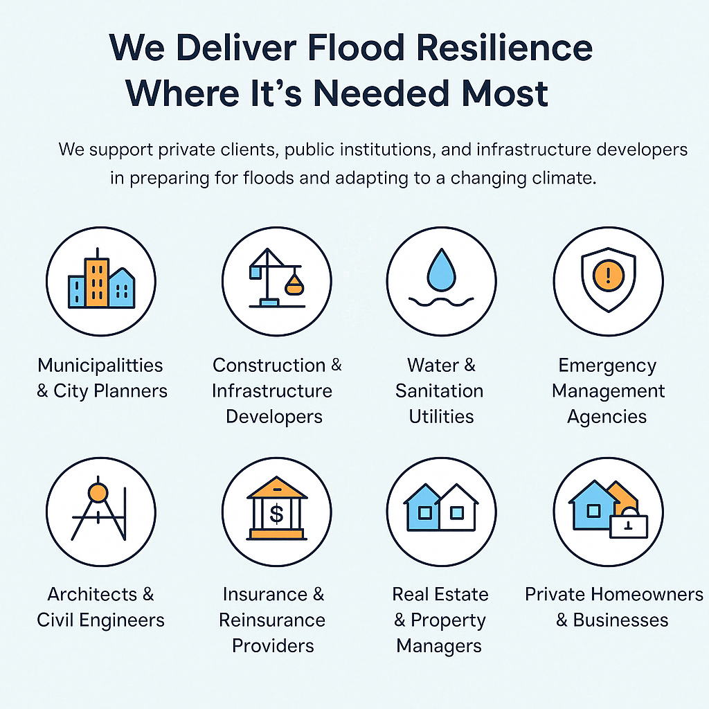
Our goal - flood resilient cities through flood preparedness & prevention
Will you be prepared for the next flood in your city?

Urban Flood Risk Analysis & Mapping
We use advanced hydrological and hydraulic modeling tools to simulate how floods develop and spread in urban environments. Our models help identify high-risk zones, assess future flood scenarios under climate change, and evaluate the effectiveness of mitigation strategies. By combining real-world data, rainfall predictions, and surface modeling, we create detailed flood-risk maps and forecasting systems. These tools support municipalities, engineers, and developers in making informed, resilient decisions through urban flood risk analysis. Whether you're planning new infrastructure or managing existing flood risks, we provide the insight you need to stay one step ahead

Flood Defense Solutions for Buildings and Cities
From individual buildings to entire neighborhoods, we design and plan effective flood defense solutions tailored to your needs, based on our urban flood risk analysis. Our team assesses vulnerabilities and develops mitigation strategies using both engineered defenses and nature-based solutions. We offer support in implementing property-level protection—like backflow preventers, barriers, and sump systems—as well as city-scale infrastructure planning. Every defense starts with understanding risk, and we make sure protection is both technically sound and cost-effective. Whether you're a homeowner or a city planner, we help you act before the flood hits—not after.
Why Flood Resilience Matters Now
Across the globe, cities are facing mounting pressure from climate change, aging infrastructure, urban expansion, and unpredictable weather patterns, culminating into urban flood risk. Inadequate water management and outdated planning approaches often leave urban areas vulnerable to flooding — with devastating impacts on homes, infrastructure, and local economies.
At Floodhound, we help communities turn the tide by using science-driven modeling, detailed flood-risk mapping, and practical flood mitigation strategies. From public infrastructure and transportation networks to private buildings and green spaces, we assess how water moves through urban environments — and how to control it.
We combine hydrologic and hydraulic simulation tools (including Fluidit Storm), satellite data, elevation models, and rainfall projections to build a full picture of flood exposure and defense potential. This supports smarter decision-making for municipalities, developers, engineers, and homeowners.
Knowledge-Driven Flood Planning
Floodhound is more than a modeling company — it’s a partner in resilience. We work with clients across Europe to design tailored solutions that address today’s risks while preparing for tomorrow’s extremes.
Whether you’re planning flood-proof infrastructure, managing municipal flood response, or simply seeking protection for a vulnerable property, we deliver the data and insights needed to take action — before disaster strikes.
Our experience has shown that the best solutions and flood resilience emerge through collaboration. That’s why we work closely with engineers, urban planners, and local authorities to integrate hydrological knowledge into real-world designs and policies. From initial risk assessment to long-term adaptation strategies, we’re committed to helping communities build smarter, safer futures.
Data, Tools & Technologies for Urban Flood Risk Analysis
Global Data Local Impact
Technology that Simulates Tomorrow
From Layers to Living Models


We build our hydrological modeling on high-resolution, globally recognized data sources to ensure accuracy and future-readiness. These include:
-
Copernicus Climate Data Store
-
NASA Earth Observation Systems
-
Google Earth Engine (GEE)
-
USGS Hydrologic Data
-
OpenStreetMap (OSM)
-
ESA Sentinel Satellite Series
-
NOAA Climate & Weather Data
By fusing remote sensing, climate archives, and real-time urban data, we create layered and localized models that drive smart flood resilience planning.
Our team blends geo-spatial analysis, hydrology, and engineering into functional urban flood simulations. We rely on:
Fluidit Storm – our primary hydraulic modeling software
GIS – geospatial analytics
Autodesk AutoCAD – precision CAD for topography and infrastructure
R (The R Project) – data science and geostatistics
Hec-RAS / Hec-HMS – for open-source river & watershed modeling (when relevant)
We simulate everything from pipe flow and terrain runoff to surface pooling and network overload — tailored to your area’s infrastructure.
We don’t just analyze — we synthesize. Our work revolves around creating integrated, data-rich models that behave like the real world. This is where the Urban Digital Twin (UDT) concept comes in.
By uniting hydrological layers, infrastructure data, terrain maps, and climate models, we create digital environments that mirror physical urban systems in real time or simulation.
These digital twins allow us to test flood scenarios, evaluate infrastructure stress points, and simulate the impact of climate change into urban flood risk analysis — all before a drop of water hits the ground.